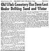
Old Wink Cemetery
The marker is inside the Wink Museum
Someone, years back stole the marker. When it was recovered, it was placed here, in the museum.
The marker has never been relocated out where the old cemetery is.
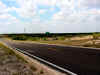
According to the old timers in Wink, the cemetery is located in the Monument Draw. Although it is dry now,
back during the 1950's - 60's, it was flooded with oil field runoff water and the area was underwater
for over 10 years. Several of the Wink residents remember fishing and hunting here.
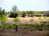
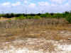
The cemetery is located north of Farm Road 1232
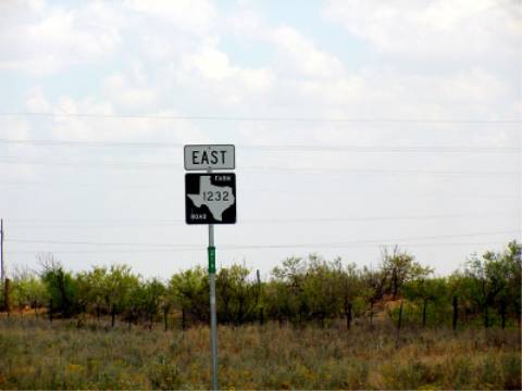
Just past the Monument Draw
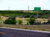
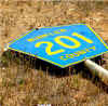
Turn right onto Winkler County Road 201
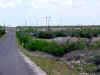
Proceed about 1/4 a mile
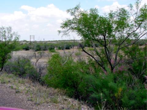
Right side of the road, down in the valley is where the cemetery was located
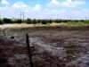
This area was covered for many years with salt water.
Notice the salt residue on the ground
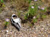
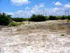
It is the burial site of 26 persons who died during
the early days of the oil boom, 1926-1929.
Shifting sands over the years have erased all vestige of the graves.
"We carved not a line,
we raised not a stone,
but left him alone" Wolfe.
There are no current signs of the cemetery. Today, it is part of a local ranch